This 4-Day Northern Ontario Motorcycle Route Is ADV Perfection
Some of the links below are affiliate links, which means we will earn a commission on the products or services you purchase using the links. There is no additional cost to you, and the earnings help keep this website running.
From ferry crossings to forgotten backroads and twisty Muskoka pavement, this 4-day Northern Ontario motorcycle tour delivers one of the best ADV rides in Ontario.
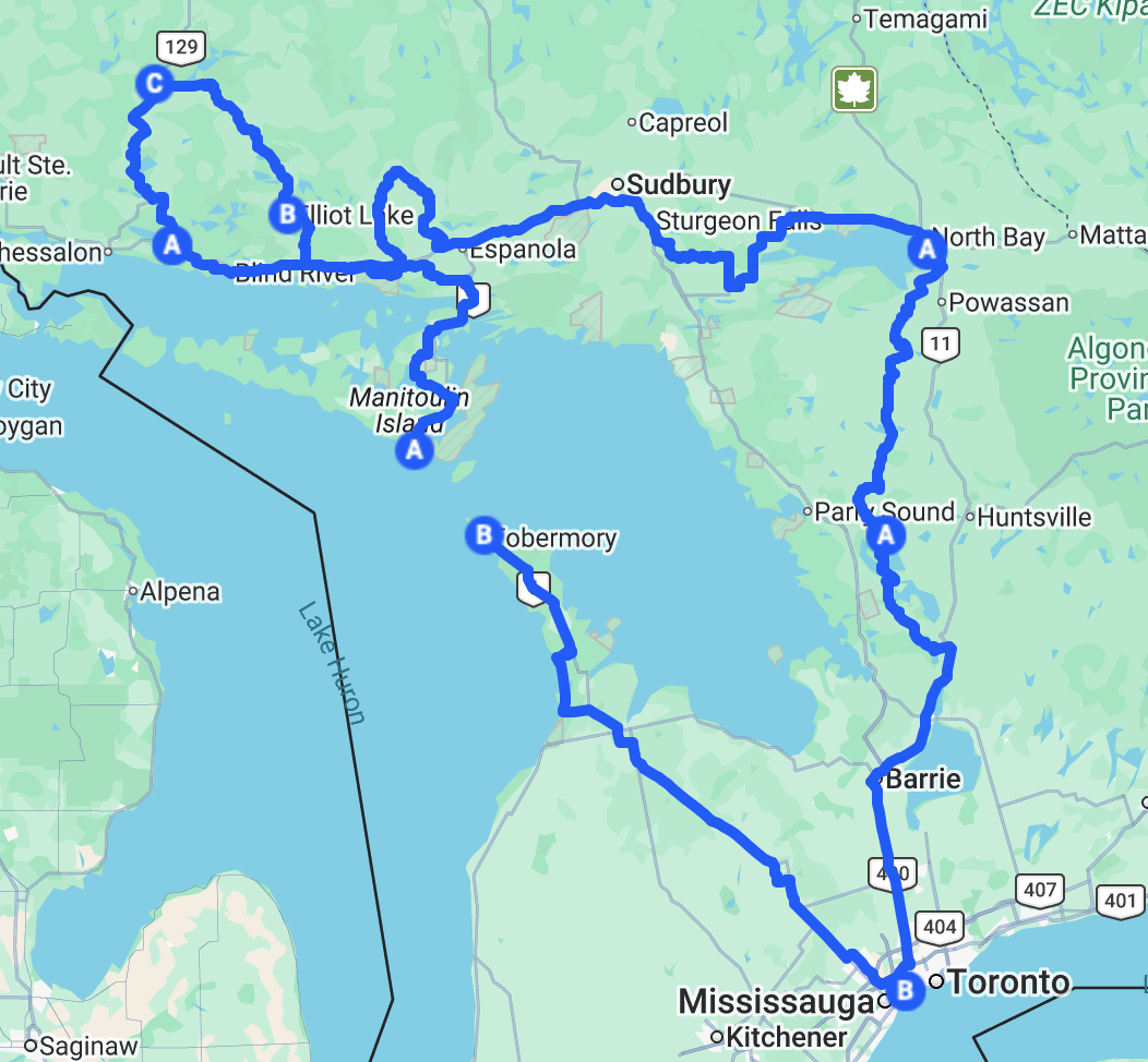
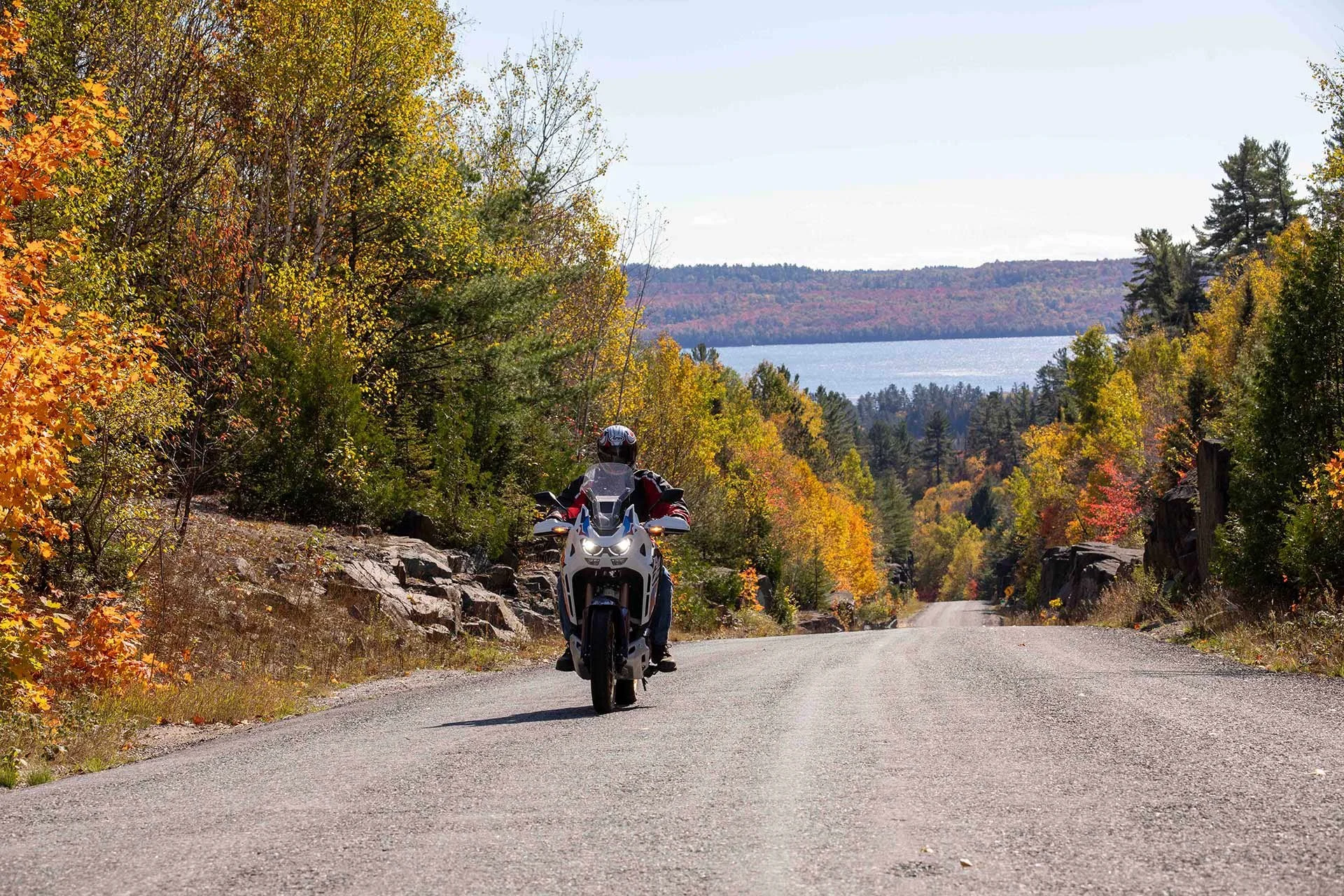
If you’re craving empty highways, rugged gravel, and endless fall colour, this 1,700 km loop from Toronto to Algoma Country and back should be at the top of your ride list.
Blending pavement, gravel, and a few proper dirt sections, this route connects iconic riding experiences like the Georgian Bay Coastal Route, Deer Trail Tour, and Ontario’s own Highway 129 Tail of the Dragon. Add in a ferry ride, remote forest tracks, and some of the best twisties in Muskoka, and you’ve got a bucket-list-worthy ADV tour.
This guide breaks down everything you need to know, routes, highlights, and tips, to ride it yourself.
Why This Northern Ontario Motorcycle Route Is a Must-Do
The best 4-day Northern Ontario ADV motorcycle route includes:
Chi-Cheemaun Ferry to Manitoulin Island
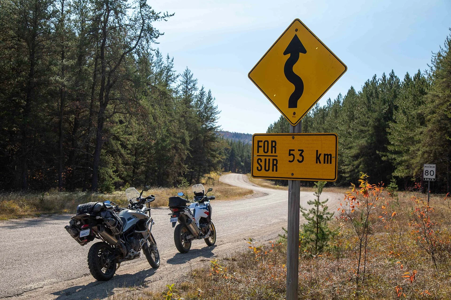
Highway 129 (Ontario’s Tail of the Dragon)
The Deer Trail Tour near Elliot Lake
Remote gravel roads in Algoma
Old Nipissing Road and Muskoka twisties
This route hits the sweet spot between comfort and adventure.
Day 1: Toronto → Tobermory → Manitoulin Island → Little Current
Distance: ~345 km
Day one is all about easing into the adventure while working your way north toward the ferry at Tobermory.
Leave Toronto early and head toward the Bruce Peninsula. While much of this section is paved, there are opportunities to dip into gravel, especially if you explore parts of the Creemore Adventure Route before heading west.
A great stop is Sauble Beach for coffee and a quick stretch before continuing north on a mix of pavement and backroads.
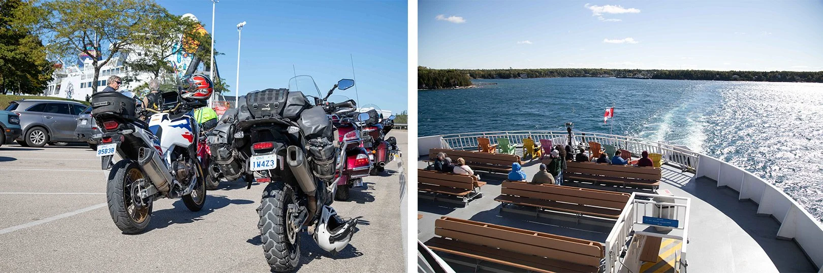
The MS Chi-Cheemaun Ferry is one of the highlights of this adventure.
The Ferry Experience
The highlight of the day is boarding the MS Chi-Cheemaun Ferry for the 2.5-hour crossing to Manitoulin Island.
Expect:
Sweeping views of Georgian Bay
Towering limestone cliffs
Stunning fall colours along the shoreline
Food and drinks available on board
Ropes are provided to secure your bike, but you might consider bringing straps for more security
Pro tip: Book ahead in summer. In shoulder seasons, you can sometimes roll on without a reservation, but don’t count on it.
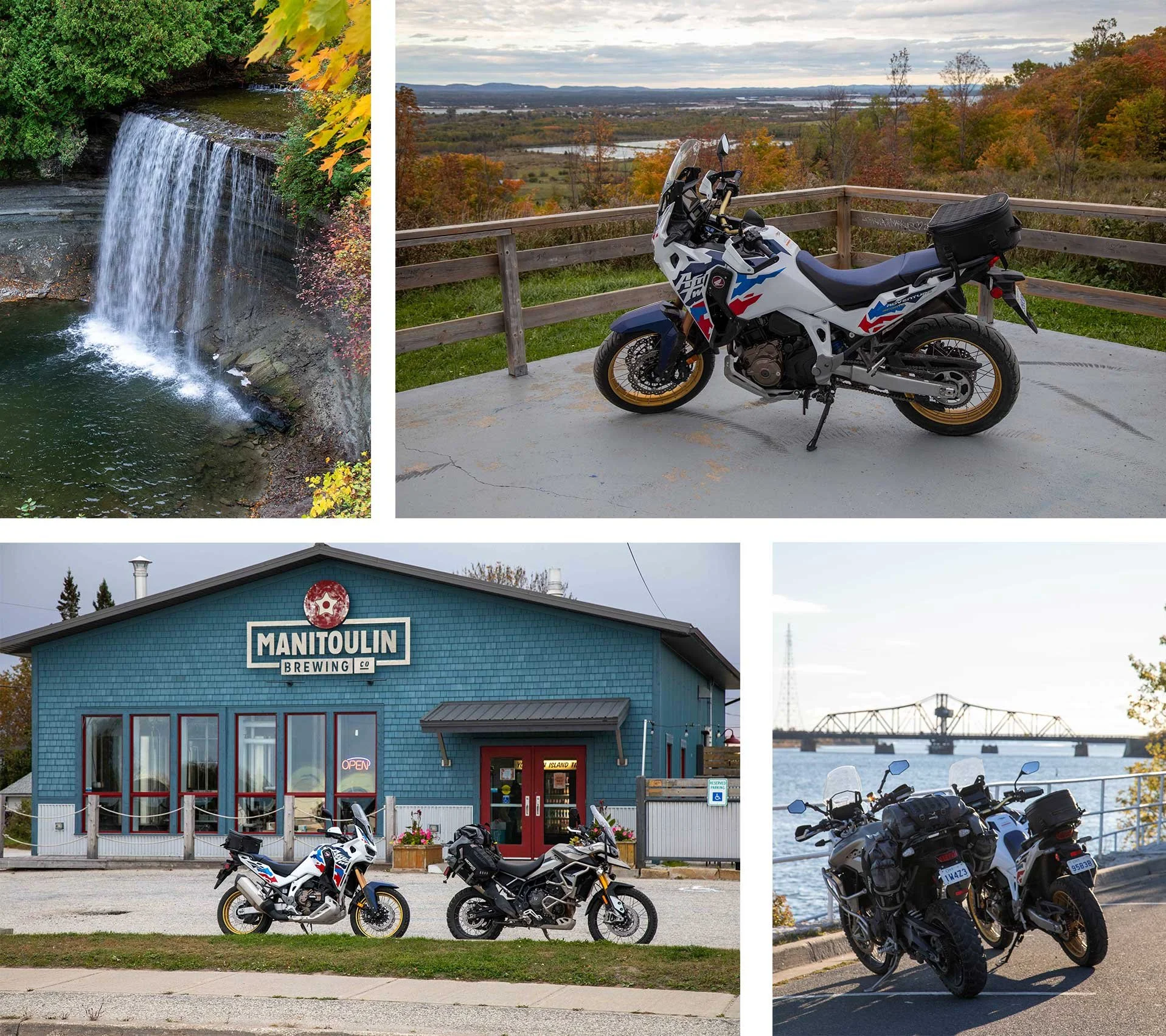
Must-Stop: Bridal Veil Falls
Once on the island, ride to Kagawong and take the short walk to Bridal Veil Falls. It’s one of the most scenic waterfalls in the province, especially in autumn.
If time allows, Manitoulin Island is worth a day of exploring.
Where to Stay in Little Current
Roll into Little Current and settle in for the night:
Elliott's Restaurant – hearty meals and solid breakfast
Manitoulin Brewing Company – perfect for take-away craft beer
Manitoulin Motel Ltd. – simple, rider-friendly accommodation
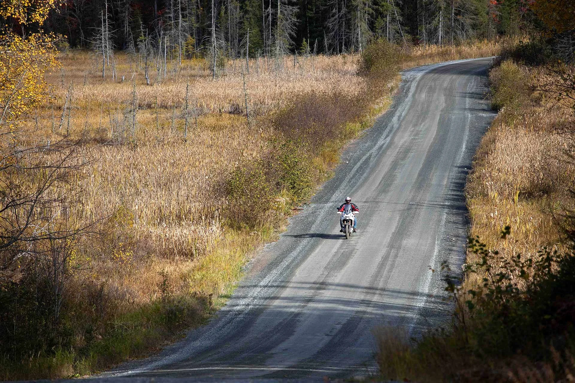
Day 2: Little Current → Elliot Lake → Iron Bridge
Distance: ~400 km (with gravel and dirt sections)
Day two kicks off by crossing the iconic Little Current Swing Bridge, a one-lane gateway to the mainland and the start of some of Ontario’s best riding.
Into the La Cloche Mountains
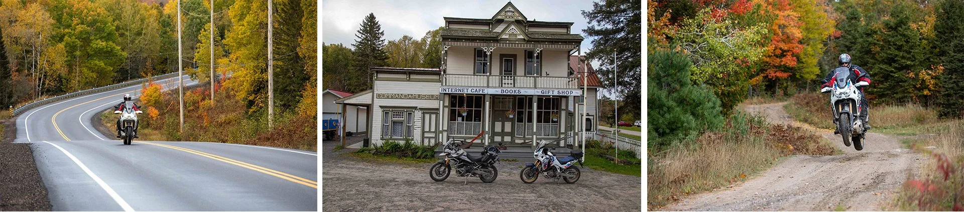
Follow Highway 6 through the stunning La Cloche Mountains, where white quartzite cliffs frame sweeping curves.
Then it’s time to get dirty.
Highway 6 through the stunning La Cloche Mountains is an unforgettable ride.
Fox Lake Road is a fun stretch of single-lane gravel.
Gravel & Backcountry Riding
Turn onto Fox Lake Road for your first real dirt section
Ride through Lee Valley and into Massey (paved)
From Massey, follow a gravel stretch before reconnecting with Highway 17
Continue toward Elliot Lake for fuel and lunch
Like us, you can enjoy a quick lunch in Elliot Lake, or for a more memorable experience, head over to Dunlop Lake Lodge or Laurentian Lodge.
I suggest reaching out beforehand to confirm they are open on the days you plan to visit.
Before leaving Elliot Lake, ride up to the Fire Tower Lookout, a panoramic view that’s worth every minute.
Highway 546 is part of the Algoma Deer Trail loop and has a remote, adventure vibe.
Deer Trail + Hidden Gravel Route
Take the Deer Trail Tour west along Highway 546, flowing pavement with elevation changes and zero traffic.
Then comes a true ADV highlight:
~80 km of gravel and bush roads toward Blackcreek Outfitters
Remote terrain, occasional two-track, and navigation that may confuse Google Maps
Tip: Use a backroads navigation app, and use the save for offline function when there is no service in the area. This section is rideable, but not obvious.
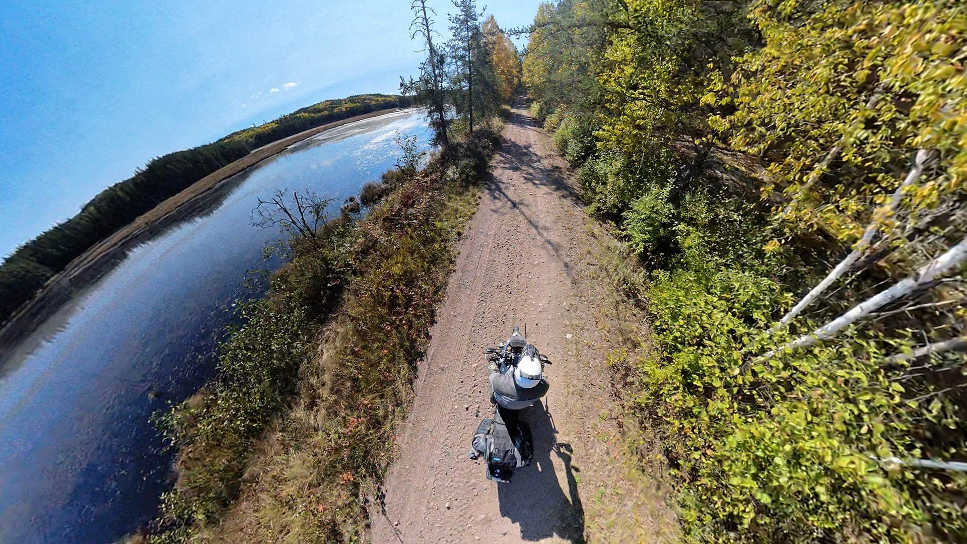
The stretch between Highway 546 and Blackcreek Outfiters is why we ride adventure bikes.
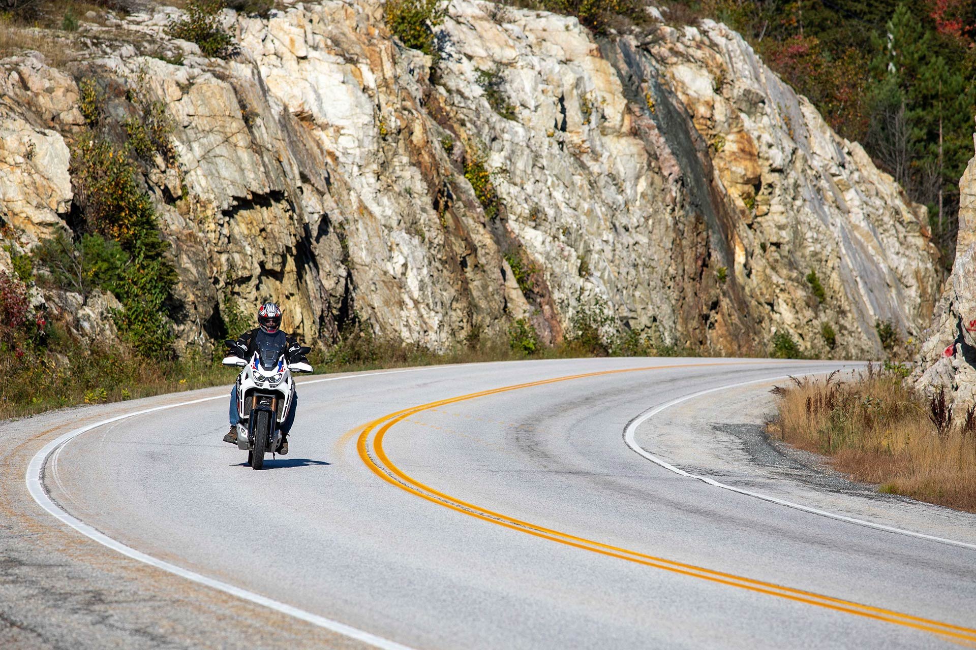
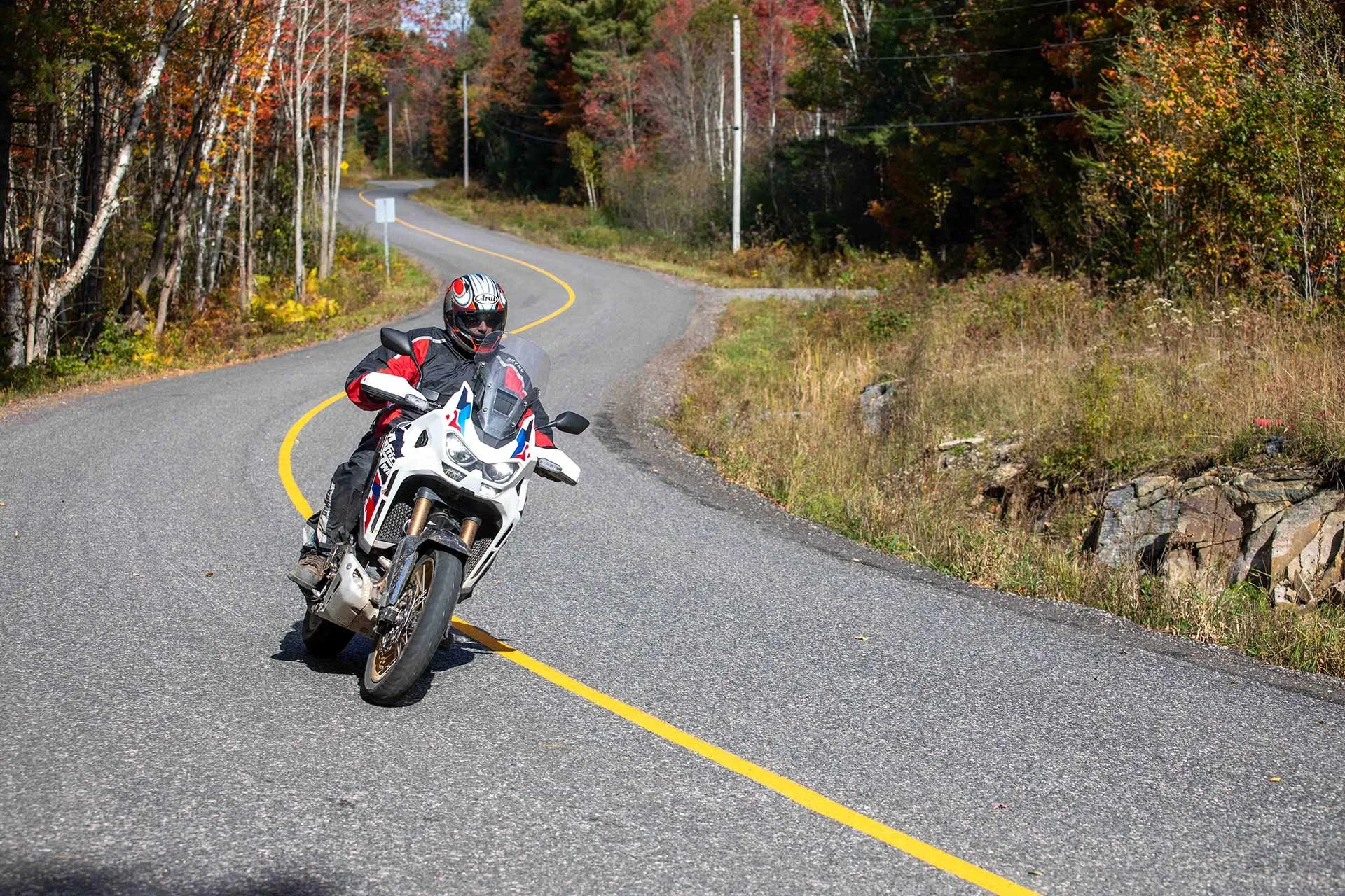
Highway 129 – Ontario’s Dragon
From Blackcreek, head south on Highway 129, Tail of the Dragon.
This 100 km stretch delivers:
Endless curves
Cliffside views
River-lined pavement
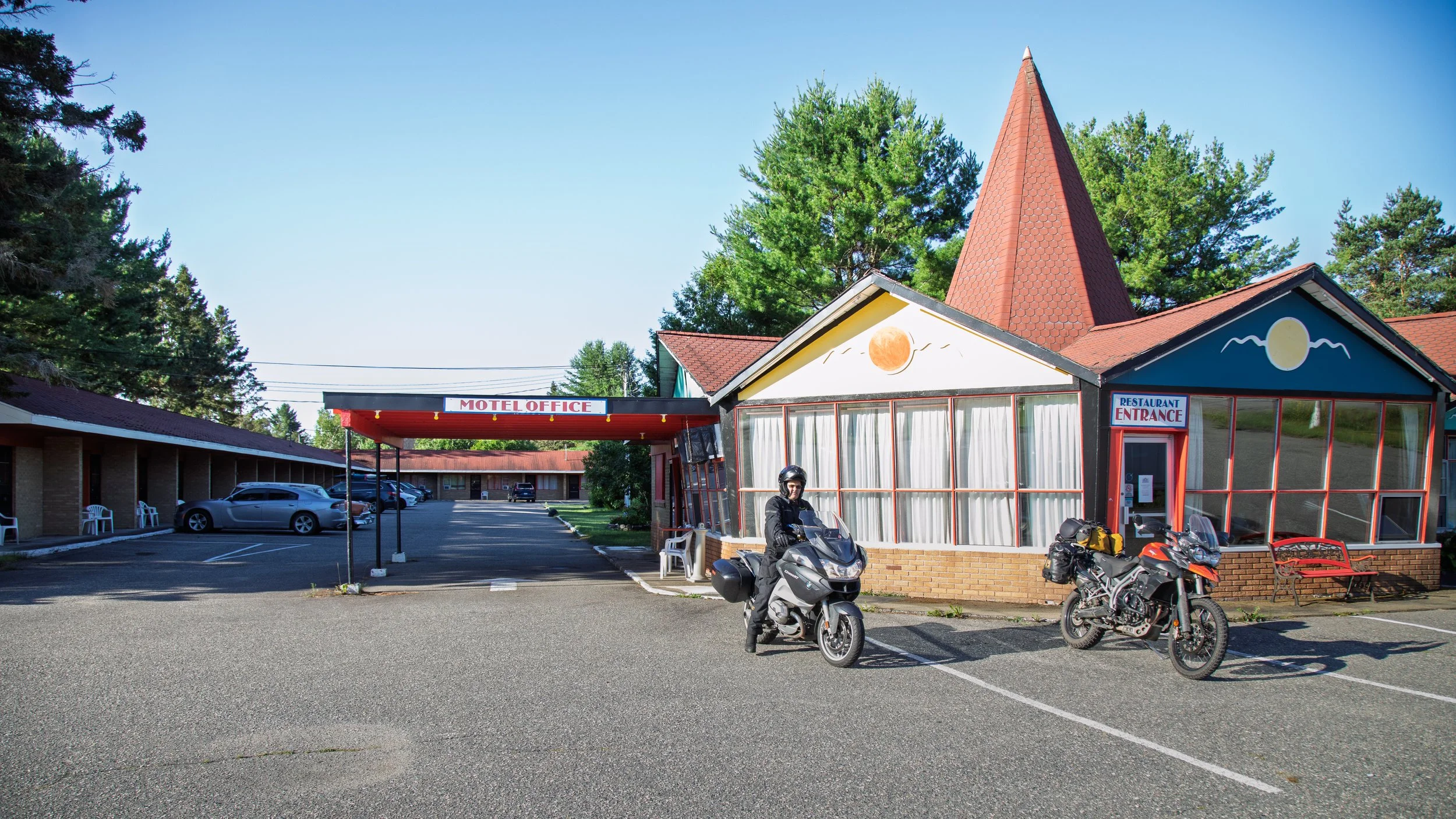
Finish your day in Iron Bridge and check into:
Red Top Motor Inn – classic roadside stay with dinner on-site
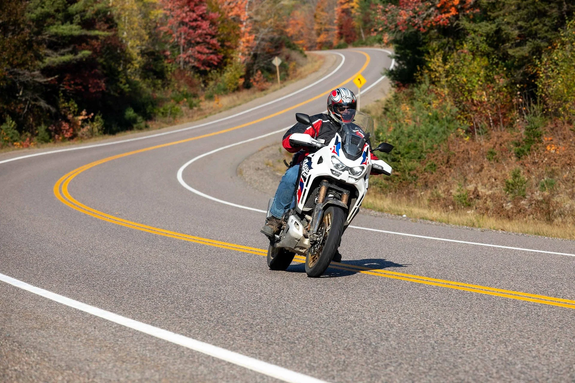
Highway 129, yeah, it’s that good.
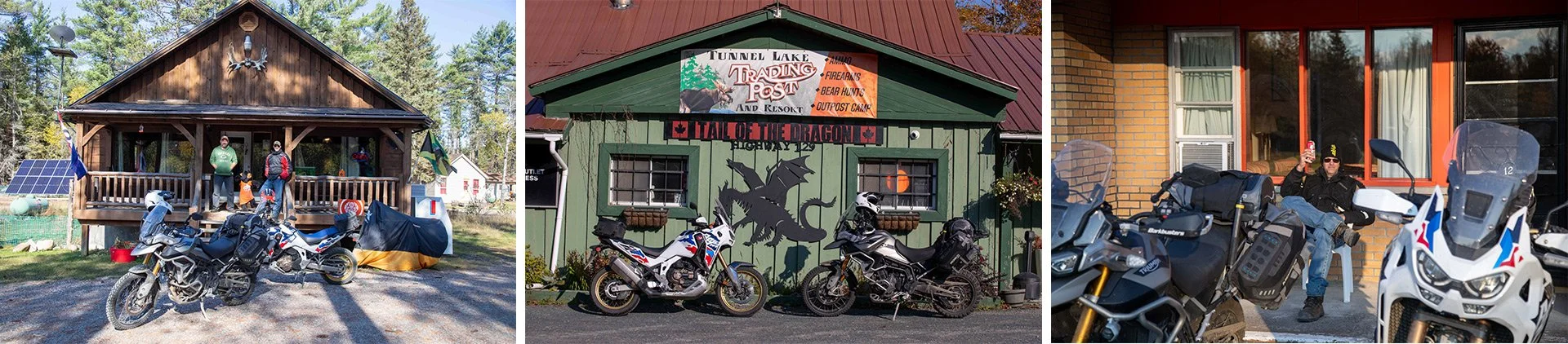
Chatting with the owners at Blackcreek Outfiters, Tail of the Dragon, photo pop and post-ride beer at Red Top Motor Inn.
Day 3: Iron Bridge → Sudbury → North Bay
Distance: ~400 km
Day three starts with some time on the Trans-Canada Highway toward Massey. Grab breakfast in Blind River before diving back into adventure riding.
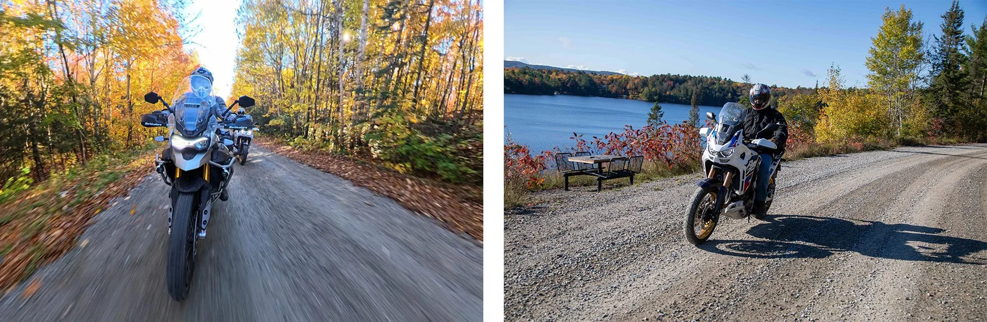
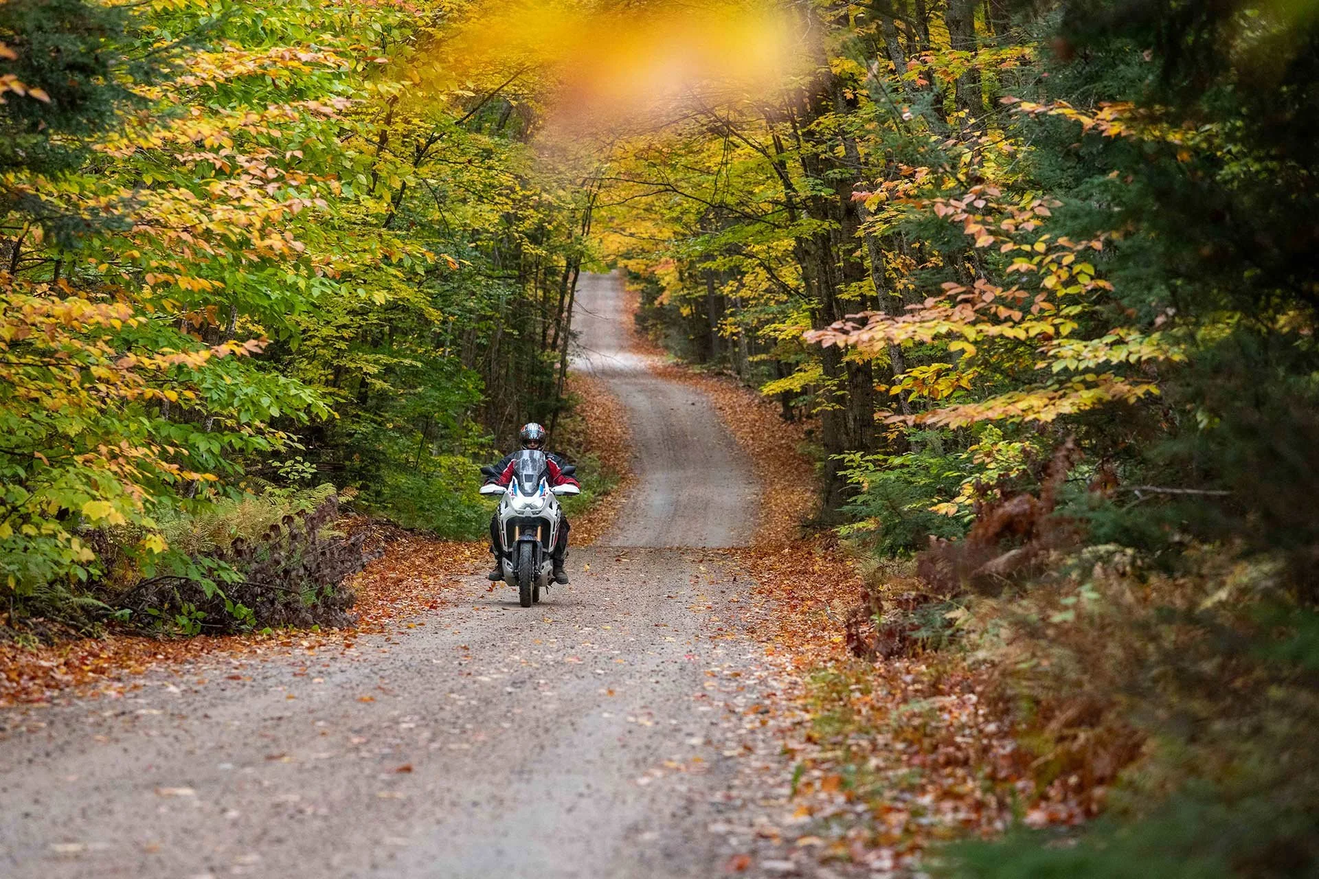
Remote Gravel Riding
From Massey, choose adventure over efficiency by diverting north into 100 km of gravel and forest roads. This section is pure ADV gold, remote, twisty, rugged, and in October framed by autumn colour.
From Massey, head north into:
100 km of forest roads
Remote, twisty gravel
Minimal traffic and maximum scenery
Near Sudbury, we again step off the direct route and onto Trout Lake Road, a long, flowing stretch of dirt and twisty gravel that feels purpose-built for ADV bikes.
The detour north of Massey is ADV bliss.
Weather Reality Check
Northern Ontario can throw everything at you:
Cold winds
Sudden rain
Rapidly changing conditions
As on any multi-day motorcycle adventure, you never know what Mother Nature will throw at you, and today is no exception, weather looms all day: dark skies, cold wind, and intermittent rain. By the time we reach North Bay, we have earned a warm meal and a soft bed.
Stay:
On-site restaurant Farina Ristorante
Day 4: North Bay → Muskoka → Toronto
Distance: ~500 km
The final day blends history, gravel, and some of Ontario’s best dirt and pavement.
Old Nipissing Road in the fall is amazing.
Riding south from North Bay offers everything an ADV adventure requires.
Old Nipissing Road
Start your day on Old Nipissing Road, a legendary ADV route known as “Ontario’s Ghost Road.”
Expect:
Abandoned homesteads
Narrow dirt tracks
Rolling hills and farmland
Lots of gravel
Highway 518 & Bala Lunch Stop
Reconnect with pavement on Highway 518, a personal favourite thanks to smooth curves and low traffic.
Stop in Bala for lunch at:
Hook & Ladder Bar and Grill
Southwood Road, if you've been, you know. If you haven't, you are in for a treat.
Southwood Road Finale
Finish strong on Southwood Road:
Tight corners
Flowing sweepers
Dense forest sections
From there, connect to Highway 11 and cruise back to Toronto.
What to Know Before You Ride
Best Time to Go
Late September to mid-October for peak fall colours
Summer offers longer days but more traffic
Fuel & Navigation
Fuel up often—distances between stations can be far
Use apps like Backroad Mapbooks for off-grid navigation
Bike Setup
50/50 or 60/40 tires recommended
Bring straps for the ferry
Pack layers; temperatures vary significantly
Final Thoughts
This 4-day Northern Ontario ADV motorcycle route is the kind of ride that sticks with you long after the engine cools.
From the ferry crossing to Manitoulin Island to remote gravel roads near Algoma Country and the final twisties in Muskoka, every kilometre delivers something memorable.
If you’re looking for a ride that blends freedom, challenge, and unforgettable scenery, this is it.
Gear up, hit the road, and let Northern Ontario do the rest.